
The walk starts at the St. Johns road entrance of the Apirana reserve. Car parks are available. Alternatively you can take bus #655 from Auckland city and get off at the intersection of St. Johns Road and Felton Mathew Avenue. From St. Heliers take bus #767/768/769 back to the city, or take bus #007 to the St. Johns road roundabout, from where it's about 10min walk to the starting point of this walk.
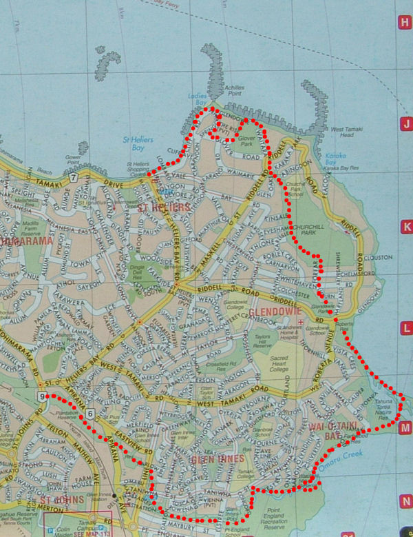
At the car park you have to climb over the fence to enter Apirana reserve (image above). From there you can see during clear weather Eastern Beach, Beachlands and even the Coromandel. After exiting Apirana reserve cross Apirana avenue and enter Eastview reserve followed by Taniwha reserve. After crossing Taniwha street you enter Ruapotaka Reserve and then Maybury reserve. During the walk you pass several state housing estates. This area has a low socioeconomic status and the walk is not recommended after dark.
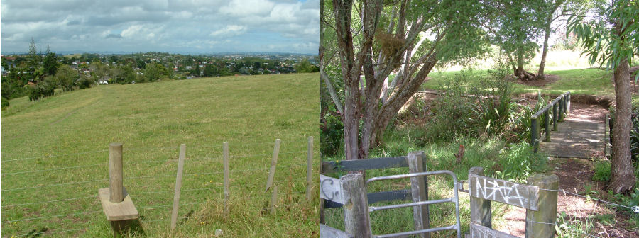
After crossing Elstree avenue you enter Point England reserve and walk along a scenic pond.
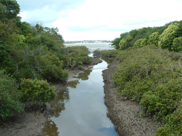
The track continues along Omaru creek and you will soon see mangroves and the Tamaki river estuary.
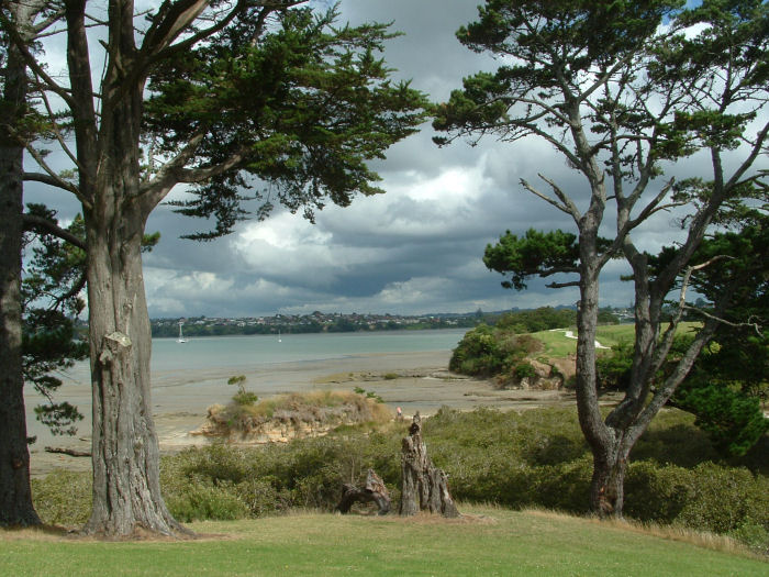
Walk along the coastline of Wai-o-taiki Bay and enjoy the beautiful views across the estuary.
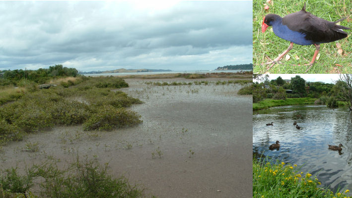
After about 1km you come to a car park from where you enter the Tahuna Torea Nature Reserve. Explore the reserve and follow one of the tracks which go to the Roberta reserve.
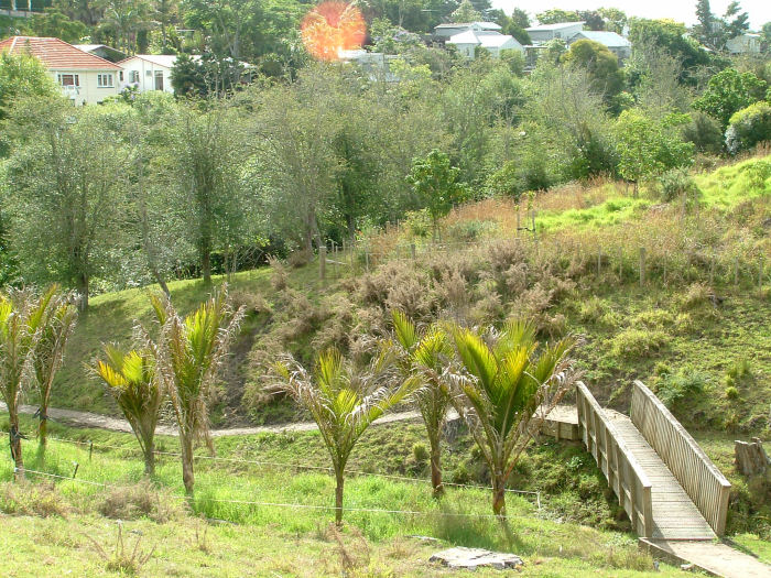
From the Roberta Reserve cross into Gledowie Reserve and follow the walkway on the right to Lisburn avenue. Turn into Forfar road and at the end you see the entrance gate to Churchill park. Follow the path turning down in the left hand side.
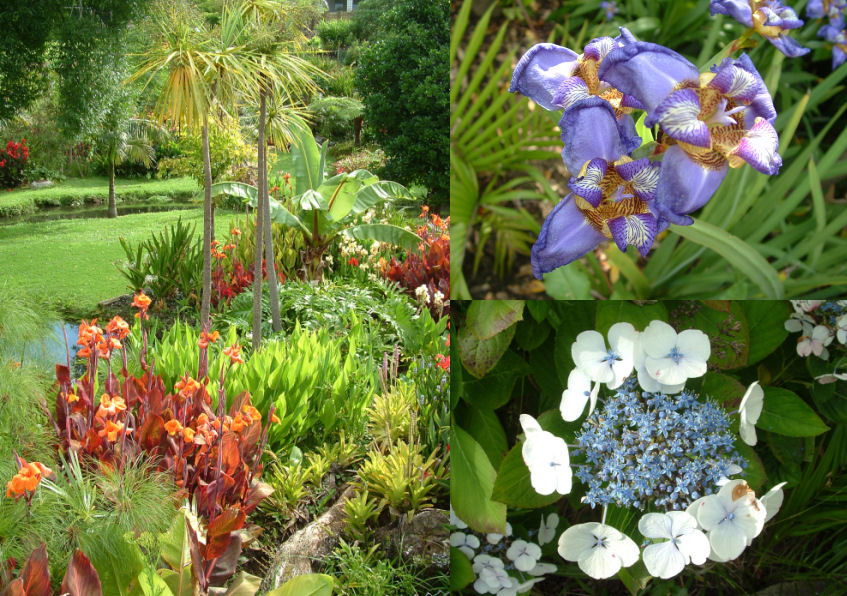
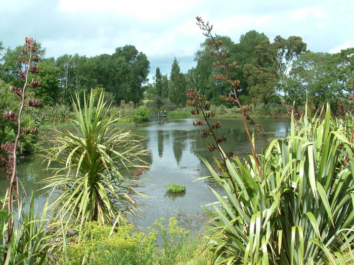
The path follows a little stream and is refreshing cool during sunny weather. You can observe beautiful private gardens and numerous flowers along the way.
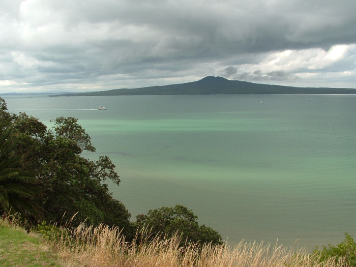
After exiting Churchill park follow Riddell road and turn off at Waitara avenue. At the end of this road a little walkway goes along the cliff top down to Glover road. From the cliff top you have beautiful 180 degree views of the Waitamata harbor and the surrounding islands.
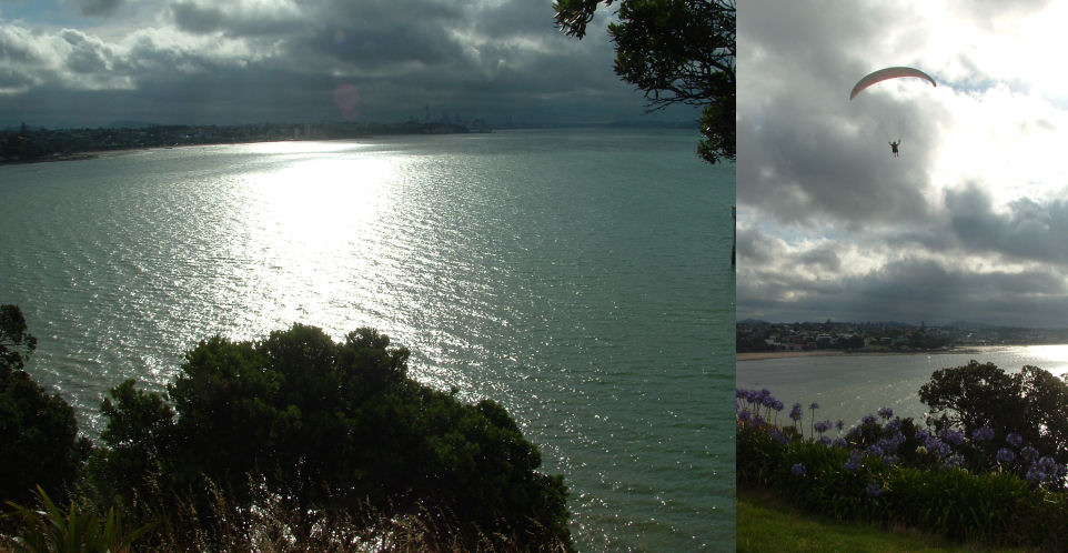
From Glover road turn into Sprincomb road and Cliff road. The lookout at the top of Ladies bay has unfortunately been destroyed during a storm in 2008. However, you still have wonderful views of the harbor and St. Heliers Bay.
 Back to my private home page