
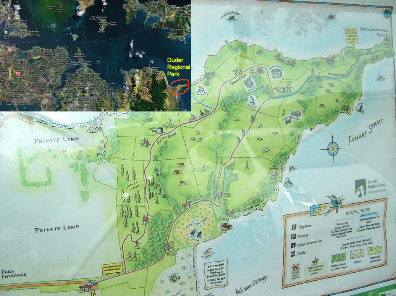
The Duder Regional Park is about 50min drive away from Auckland city. This park was previously a farm and was donated by the Duder family to the people of New Zealand. It occupies a peninsula which stretches into the Hauraki gulf and enjoys some of the best coastal views in the Auckland area.
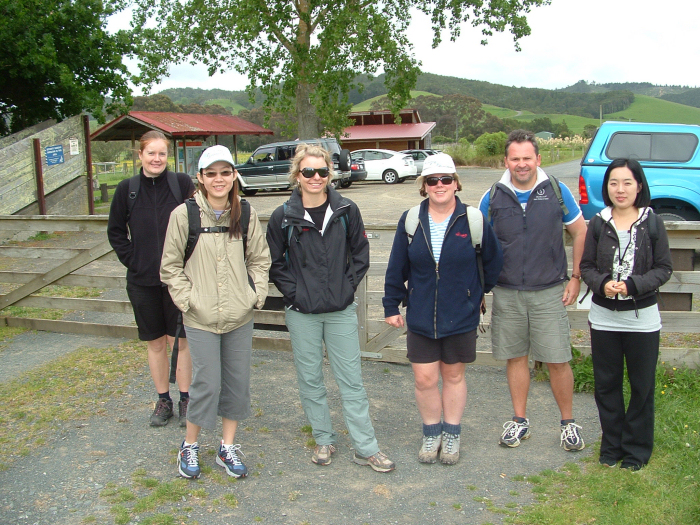
The car park at the entrance of the park has toilet facilities, maps and security cameras. However, we were warned by the park ranger that there had been a number of break ins, so please don't leave anything valueablein your car.
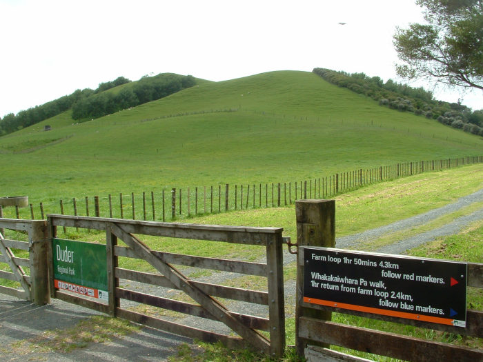
The park offers three walking track - a farm loop which can be easily done in 1h 30min, a 1h return side trip to the Whakakaiwhara point at the tip of the peninsula, and a short walk to the beach at its east side.
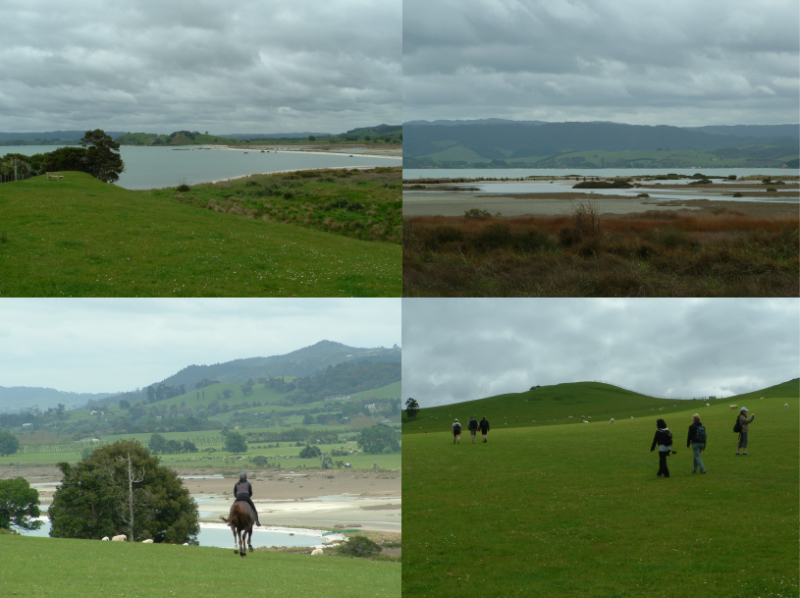
The farm loop track goes steadily uphill towards the highest point of the peninsula. It offers great views of the salt marsh (right hand side), farm land and the Coromandel. The track is also open for horseriding and (I think) mountain biking.
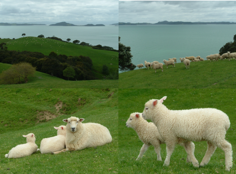
Apart of the coastal views the highlight are sheep ... LOTS OF THEM ;-) If you want to see cute baby sheep (lamb) come in the spring.
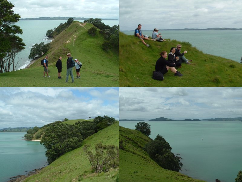
The side track to Whakakaiwhara point (top left) is well worth it and offers a lovely picnic spot with great views at its end (top right). If you look back you can see the swimming beach on the left (bottom left) and towards the east you see Ponui island, Pakihi island and the Coromandel.
 Back to my private home page